Happy Father’s Day to all the Dad’s out there! Our weather to kick off the week will be very similar to today thanks to an onshore wind. Shoreline communities will be near 70 Monday, while inland areas warm well into the 70s. A few spotty showers can’t be ruled out, especially from central New Hampshire to western Maine, but they would be isolated and not worth cancelling plans over.
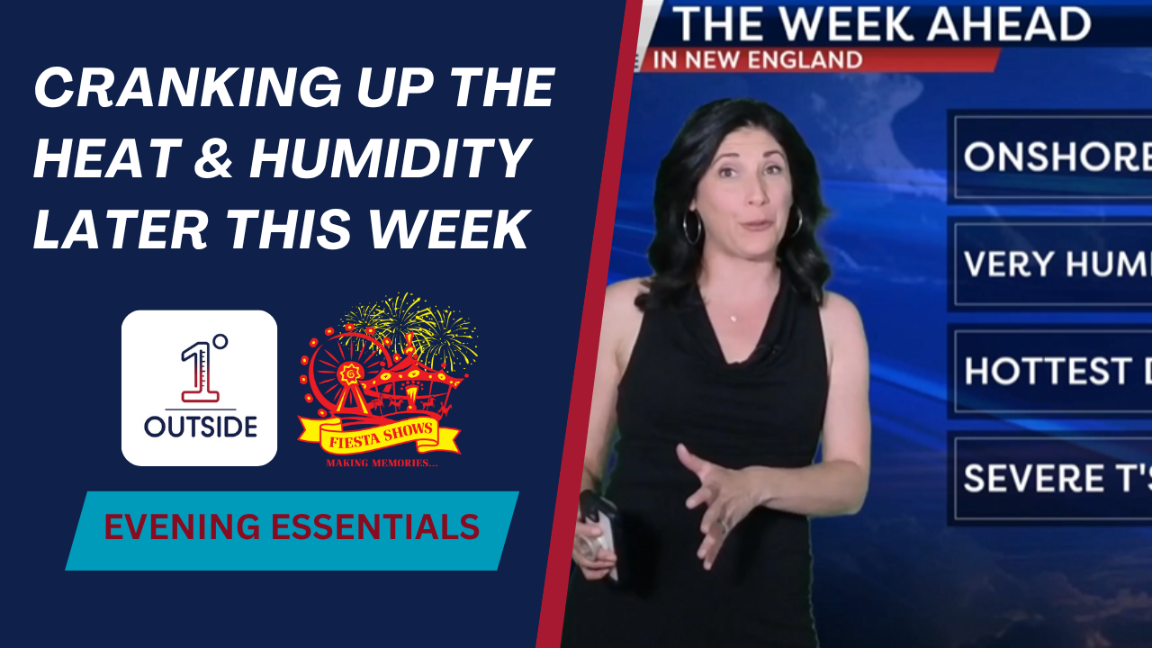
By Tuesday, another round of showers moves in from upstate New York, but not until later it the day. The real change hits Wednesday and Thursday: dew points soar into the upper 60s to near 70°F, making for a sticky feel. Temperatures rise into the 80s Wednesday, and by Thursday many locations—including the Merrimack Valley, Route 2 corridor, lower CT river Valley will likely see highs in the lower 90s. Combined with oppressive humidity – it will be a true mid-summer feel.
It will also be a day to keep an eye to the sky as scattered thunderstorms Thursday afternoon and evening may turn strong to severe depending on cold front timing, bringing potential for lightning, gusty winds, and hail. A trailing cold front Friday helps ease the humidity and heat, though some storms may linger depending on timing.
And yes—we’re watching next weekend carefully. Early signs suggest Saturday could be…dry! Stay tuned.


