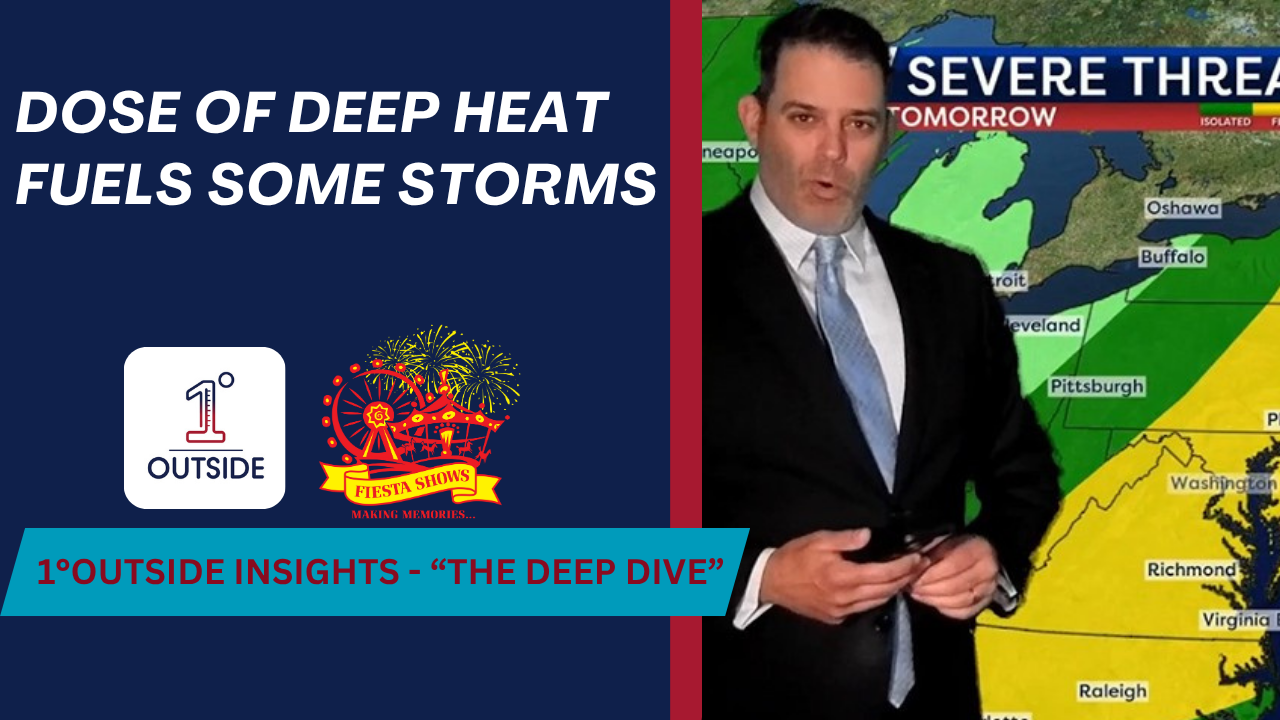
The stage is set for a somewhat volatile Thursday across parts of New England as a surge of heat and humidity collides with a powerful cold front, prompting the potential for severe thunderstorms, dangerous wind gusts, hail, and even isolated tornadoes in parts of the region.
Expect high temperatures in the low to mid-90s for much of southern New England. But it’s the dew point near 70°F that will push the heat index up to 101°F in Boston, Worcester, and Hartford. That oppressive heat, combined with a gusty southwest wind, sets up a “warm sector” atmosphere that’s primed for strong to severe thunderstorms.
Storms are likely to initiate in northern and western New England Thursday afternoon, where the best overlap of heat, humidity, and upper-level support exists. Areas like Vermont, New Hampshire, and interior Maine face the highest severe risk – including the possibility of rotating storms and isolated tornadoes, thanks to enough turning in the atmosphere.
By evening, these storms begin a march eastward. The greatest intensity is expected before they reach the coast, as marine-influenced air from the southwest starts to sap some storm energy east of I-495. Still, eastern Massachusetts and Rhode Island remain at risk for thunder and gusty wind late Thursday evening.
Friday brings more comfortable summer air, though scattered showers and even hailers are possible in central and northern Maine, where another disturbance swings through. Saturday looks like the highlight of the weekend, with dry, warm weather and mid-80s for many. Sunday starts unsettled, with morning showers likely, but afternoon sun and rising humidity will mark the beginning of a new heat surge that could push us into 95–100°F territory early next week.
For families planning fun at the Acton Lions Club Carnival (Thursday–Sunday), Matt gives the thumbs up for all of it! You save on tickets by purchasing online AND using the exclusive code, 1DEGREE! Keep an eye to the sky Thursday evening, though any storms should weaken as they head east and blow through quickly (very hit or miss).
Stay alert, stay hydrated, and download the 1DegreeOutside Weather app—your best tool for tracking storms and planning your summer!


