According to Matt Noyes, President of 1DegreeOutside, downpours will increase in both coverage and intensity later today, peaking overnight across central and especially southern New England. While showers this morning were mostly light and scattered near the South Coast, the pattern is shifting. As drier air moves into northern New England, the focus for heavy rainfall will set up along a belt from Hartford and Springfield to Worcester, Providence, Fall River, New Bedford, and even the Boston area.
This is a region that’s heavily paved – meaning poor absorption and a higher risk for flash flooding, especially during the overnight hours when visibility is reduced and puddles become harder to spot. Drivers should use extra caution during early Friday morning commutes, as lingering downpours may still cause issues in spots where water has pooled or where small streams and drainage are overwhelmed.
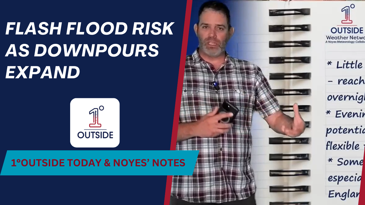
“The challenge with overnight events,” Matt explains, “is that it’s hard to see water on the roads – and that’s when you tend to get into trouble. If you’re driving late or early, keep the app close by with alerts turned on. You’ll know if a flood warning gets issued.”
Meanwhile, a drop in dew points across northern New England makes it feel much more comfortable, and cooler air is steadily pushing in behind today’s system. Temperatures in southern New England top out in the 70s to low 80s, but northern areas, including places like Fort Kent, Maine, may never leave the 60s today.
Tonight, temperatures fall into the 50s, setting the stage for a pleasant weekend to come. More details are available in our “Insights” feature, accessible both in the app and on the homepage of 1DegreeOutside.com.


