As we turn the calendar to August, signs are pointing to a month that will lean warmer and drier than average across much of New England—but with a watchful eye on the tropics as the atmospheric pattern shifts. At 1DegreeOutside, we’re also reflecting with deep gratitude. When our website came under a coordinated cyberattack late last week, it was the support of our members that allowed us to respond quickly, shore up our security, and keep delivering forecasts without interruption. That support quite literally made a difference—and if you’re not yet a member, you can learn more about joining us at membership.1degreeoutside.com.
Much of the upcoming month will be governed by a bridged ridge – a dome of high pressure stretching from the southwestern U.S. all the way to the central Atlantic. That “bridge” in the atmosphere does two things: it brings warmer-than-normal temperatures and limits rainfall across much of the eastern half of the country, including New England. Areas along the Gulf Coast may still get some moisture fed in from the tropics, but for most of the Northeast, this sets up a drier-than-average pattern.
While the overarching pattern is relatively dry, that doesn’t mean it’s entirely static. We’ll still see occasional disturbances—pockets of energy dropping southward from Canada, swinging through the upper Great Lakes and into New England. These disturbances can drag down brief cool shots, deliver the occasional thunderstorm, and more importantly, have tropical implications.
So far, the Eastern Atlantic remains relatively quiet thanks to a blanket of Saharan dust, which suppresses tropical storm formation. That dust continues to spread westward over the coming days. But as we look deeper into August, that protection fades – and with it, the door begins to open for tropical development across the western Atlantic, Caribbean, and Gulf of Mexico.
And here’s where the pattern gets interesting: those jet stream disturbances mentioned earlier often act as escape valves, steering tropical systems safely out to sea. But if the timing is off—if a system develops before a dip in the jet stream swings through—it could track farther north, even up the East Coast. So while there’s no immediate tropical threat to New England, this type of pattern raises situational awareness as we head toward the heart of hurricane season.
Closer to home, the ridge setup favors above-normal temperatures. In Boston, for instance, the average high drops from 82.1°F in July to 80.4°F in August—but this month may run a few degrees warmer than that. Combined with limited rain chances, we could see drought expansion in pockets that missed out on recent rainfall.
The Cape and Islands are already in moderate drought, and without tropical moisture or frequent thunderstorms, that footprint could grow. In fact, if this pattern persists, it’s possible we’ll see a pocket of severe drought develop by month’s end. Boston’s typical August rainfall is just over 3 inches (3.23″), and some locations may fall short of even that.
That said, Gulf of Mexico moisture may still sneak in and fuel isolated storms here and there—but the nature of those is inherently hit-or-miss. Localized downpours can bring temporary relief, but they won’t alter the broader dry trend.
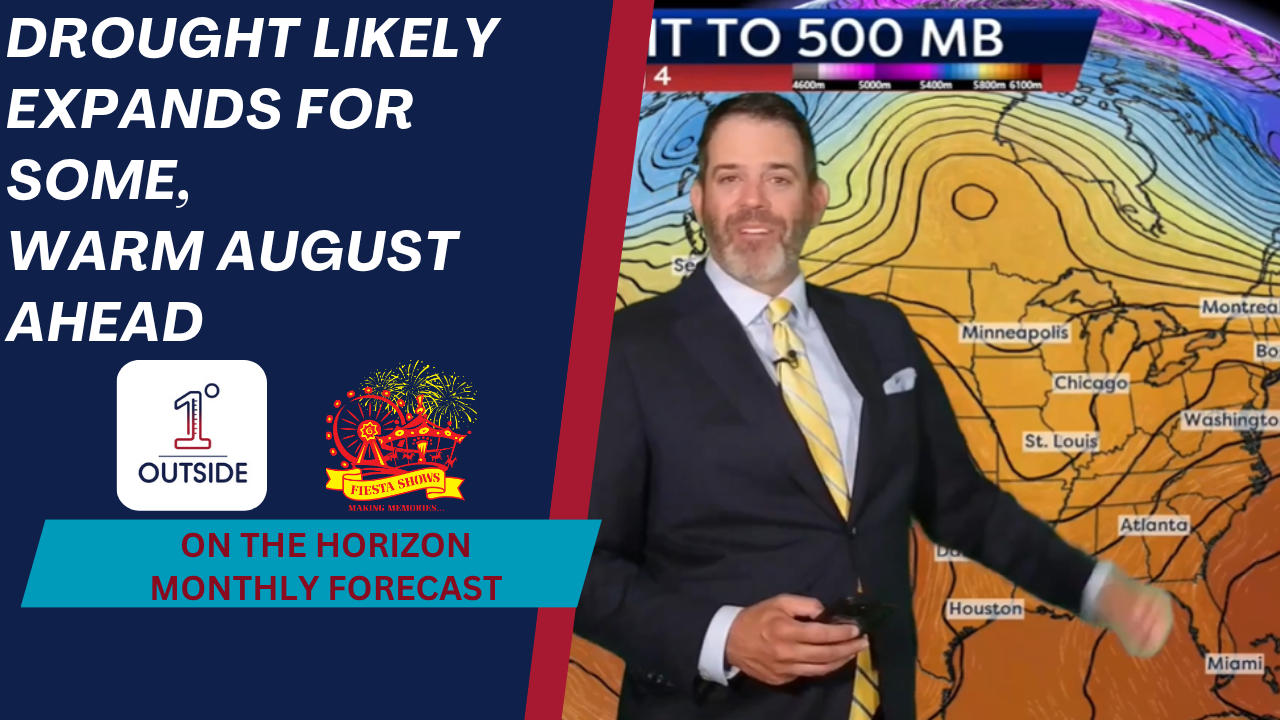
One of the key takeaways this month is the position of the jet stream. In early August, steering winds are relatively weak. But as upper-level energy drops in from the north, those winds will pick up again over the Great Lakes and New England. This creates a tendency to sweep developing storms out to sea – though, as Matt cautions, timing is everything. A poorly timed tropical system could sneak up the East Coast ahead of a jet stream trough.
So, while there’s no guarantee of tropical impacts this month, the pattern is one to watch, particularly if any low-pressure systems begin forming closer to the East Coast or in the Gulf.
All signs suggest a warmer-than-average, drier-than-average August for New England—potentially a great month for vacationers, but one to monitor closely from a wildfire and drought perspective. The tropics, while quiet for now, may not stay that way long. Keep an eye on our free weather app for updates, radar, 14-day forecasts, and our detailed Insights and Tropics Watch videos, available at the top of the app’s home screen.
Thanks again to all of our members who keep us going—and help make independent, science-driven weather forecasting possible here at 1DegreeOutside.


