What a hit. A huge swath of New England landed 1–2 feet, with jackpots over 24″: Gloucester 27″, Ipswich 26″, Sterling 25.2″, Dorchester just over 2 feet, with Milton and Weymouth just shy. Boston even broke a daily snowfall record yesterday with 6.5″ on the storm’s backside, and both Worcester and Boston logged top-10 snowstorms (#9 and #8 respectively). Keep the reports coming via the Send to Us tab in our app!
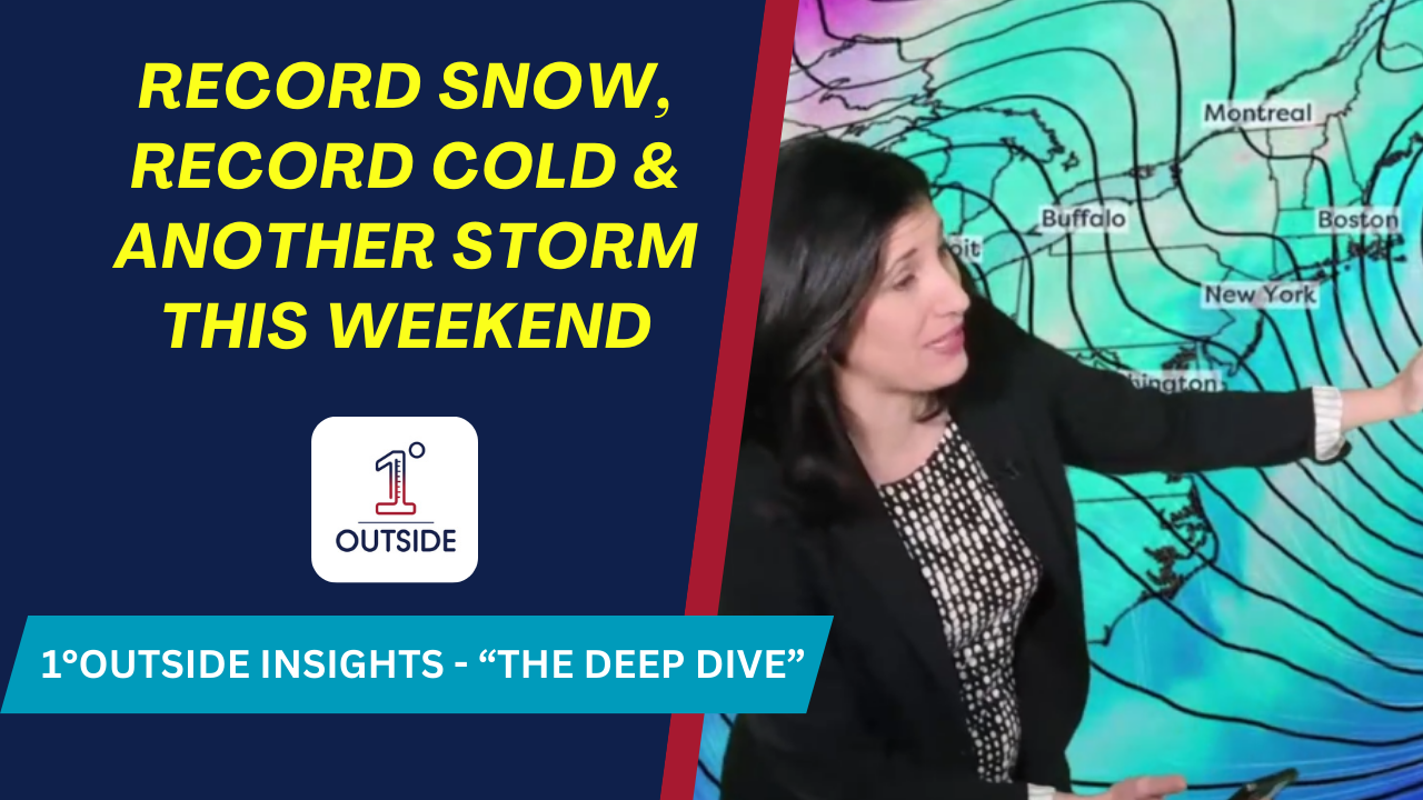
A reinforcing jet-stream dip keeps Arctic air locked in:
Highs: Teens & 20s each day
Wind chills: Single digits/teens afternoons; below zero each morning
Coldest stretch: Friday & Friday night (subzero widespread; Boston near ~3°F for Sat AM)
Even the South feels it – record cold reaches the Gulf Coast and South Florida (50s/low 60s) into early next week.
Guidance favors a large, stronger coastal system tracking south/east of New England. It’s big enough that being “missed” may still mean we’re grazed from the South Shore to Cape Cod.
All snow for New England with Arctic air in place (mixing only a distant outside shot on the outer Cape/Nantucket).
Probabilities: About 80% that New England sees accumulation Sunday; ≥6″ odds run ~30–50% for much of S/E New England and ~60% South Shore/Cape.
Track = impact: Farther offshore ⇒ lighter/graze; closer ⇒ more widespread, plowable.
We’ll be holdin pre-storm livestreams again later this week for our “Inside Track” members & above! Join at membership.1degreeoutside.com.
Track hourlies, radar, and watch the 24/7 stream in the free 1DegreeOutside app (App Store/Google Play, five stars).
Smart TV: open YouTube → 1DegreeOutside Network. Web: 1degreeoutside.live.


