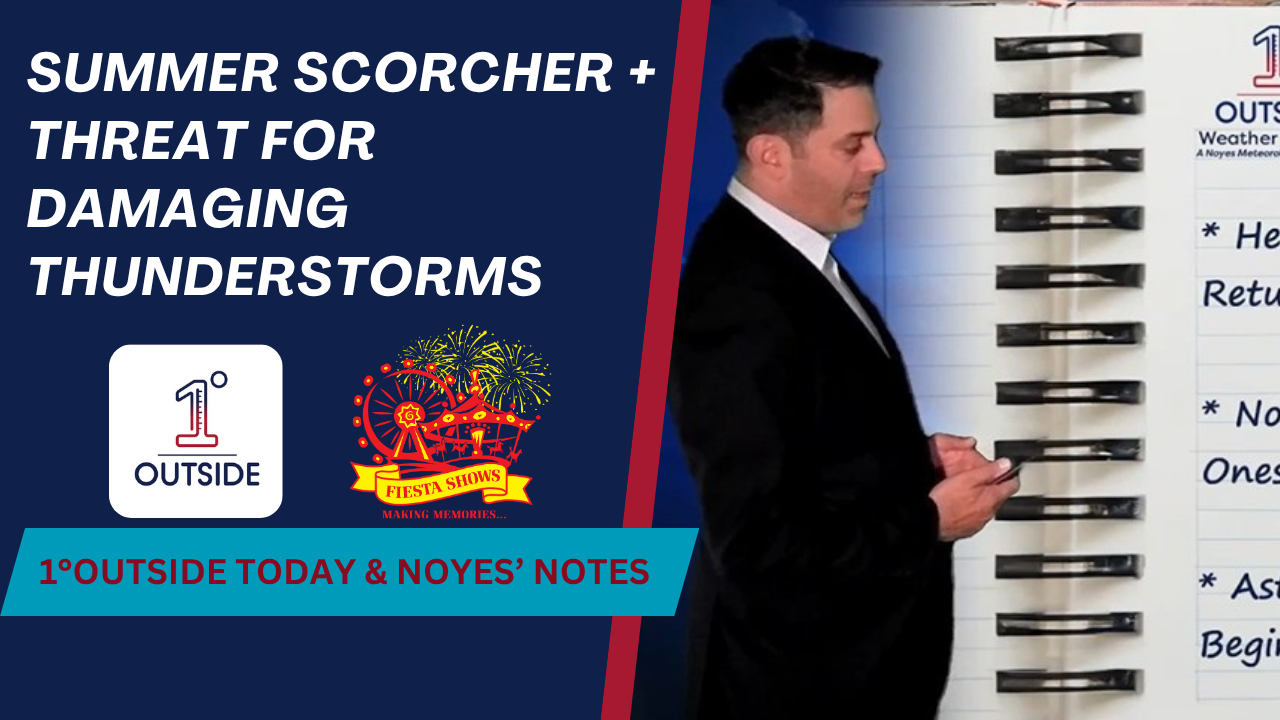
Thursday brings the first true “summer scorcher” to New England – and it’s coming with a side of potentially severe weather. According to Matt Noyes of the 1DegreeOutside Weather Network, the combination of tropical humidity, baking sunshine, and an approaching cold front creates the perfect setup for heat and powerful storms.
Expect heat index values to hit 100°F in major cities like Boston, Worcester, and Hartford. It’s a widespread tropical humidity event, with dew points rising into the 70s – the first time this season we’ve seen this level of oppressive moisture coupled with high heat.
The storm timeline is varied across the region:
Early afternoon: Storms begin in the Champlain Valley and Crown of Maine
Late afternoon (3–6 PM): Watch for a possible storm to pop in MetroWest/Central Mass
Evening (6–10 PM): Strongest storms continue across northern and western New England, though storms reaching eastern MA will likely weaken due to a cooling southwest ocean breeze.
The risk factors include frequent lightning, torrential rain, hail, damaging wind, and in northern New England, even an isolated tornado can’t be ruled out. For many, this will be the first time the body is exposed to such intense summer conditions, so Matt urges caution: stay hydrated, avoid overexertion, and keep alerts active.
As the cold front clears tonight, Friday brings a noticeable drop in humidity and more comfortable air. It’s a brief reprieve before next week’s intense heat returns, with potential for 95–100°F temperatures showing up in the 14-day forecast.
Stay ahead of it all by using the 1DegreeOutside Weather App, with location-based notifications and the radar’s “Past + Future” mode.


