If you like big-picture weather, this is the week. Our Tuesday (Oct 28) Pattern Predictions shows a classic cool-season setup: the jet stream roaring in off the Gulf of Alaska, a ridge over the West/Central U.S., and a trough carved into the Northeast. That alignment favors colder-than-normal temperatures here at home, with quick disturbances riding the flow.
The jet is the fast river of air aloft that steers storms and separates cold to the north from warmth to the south. As it strengthens (typical for late October/early November), it also shuttles shortwaves – those smaller ripples that spark our on-again/off-again showers and snow chances. Add a blocking pattern (high-over-low) later this week, and you get one slow mover followed by faster hits behind it.
Snowpack expands across Canada and into the northern tier U.S. over the next 10 days. For New England, that means a few chances for flakes in the mountains—not big storms, but enough to turn heads:
Nov 1: A minor chance for high-terrain flakes
Nov 4–5: Another quick disturbance with spotty mountain snow
Around Nov 7: Yet another system; potential for light accumulations in the northern high terrain
Importantly, most of the total precipitation in the next two weeks likely arrives late this week. Later disturbances may be moisture-limited, which caps totals even if flakes fly.
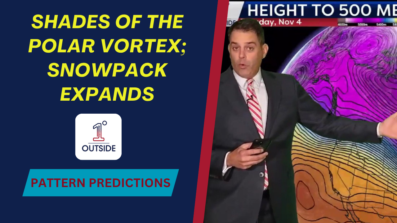
Running the 500mb heights (a great “deep-layer” temperature proxy) matches the sensible weather: cooler-than-normal days overall, with some exceptions between waves. Late next week, many communities spend nights near the freezing mark, especially away from the coast and urban centers.
Expect more jacket days than not the next two weeks.
Northern mountains: watch for spotty wintry travel at higher elevations on the dates above.
Gardeners: plan for several frosty nights late next week.
Precip timing: heaviest late this week, lighter hits with the quick waves into next.
We’re streaming 24/7 for New England on your smart TV’s YouTube app – search “1DegreeOutside Network.” The free, 5-star 1DegreeOutside app has your 14-day forecast, saved locations, and more!


