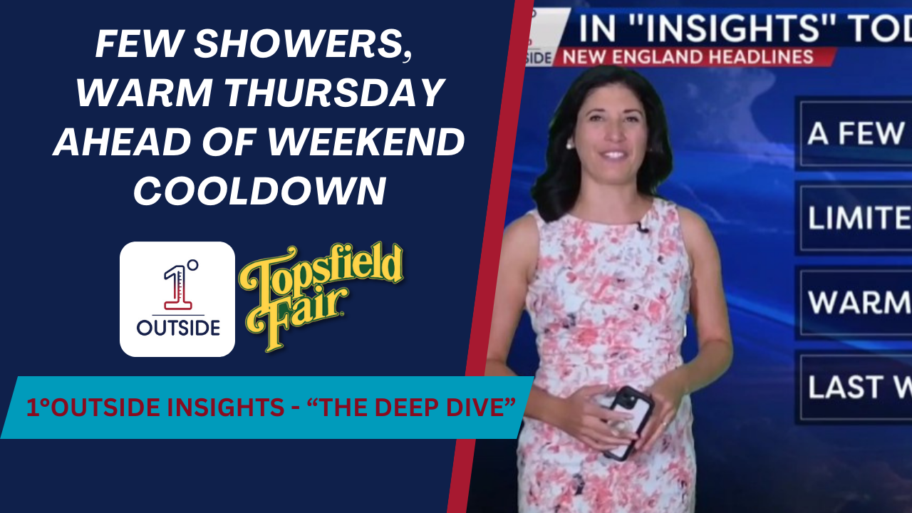
Meteorologist Danielle Noyes here with a closer look at the forecast over the next several days.
🌦 Showers Wed–early Thu in southern New England (light, isolated)
🌡 Warmest day = Thursday → many spots 80–82° with a bit of humidity
🍂 Cool down for last weekend of summer → 60s/70s, fall feel
❄️ Frost risk Friday night & Saturday night in far northern New England
🌀 Tropics: Gabrielle likely to form in the Atlantic, but projected to stay offshore
Wednesday: Mostly cloudy, a few passing showers S of the Pike, highs mid/upper 70s inland, near 70 coast
Wednesday Night: Patchy low clouds/fog SNE, lows 52–59, 40s north
Thursday: Warm & a touch humid, highs near 80, stray south coast/Cape Cod shower possible
Friday: Still warm SNE (75–80), but cooling NNE (60s), front sweeps through
Weekend: Bright, crisp, low humidity — 60s/near 70, Pats game looks fantastic for tailgating & kickoff
Tropics: Gabrielle forming in central Atlantic, modeled to curve NW → out to sea, Bermuda maybe impacted; another wave off Africa has a lower chance of development
📲 Pinpoint forecasts + interactive radar → Free 5-star app: 1DegreeOutside Weather
📺 Stream anytime: 1DegreeOutside.live


