If you’ve gotten into the habit of watching us on your TV – thank you! On your smart TV’s YouTube app, search “1DegreeOutside Network” and look for the live button. You can also stream at 1DegreeOutside.live or right at the top of our free 1DegreeOutside app.
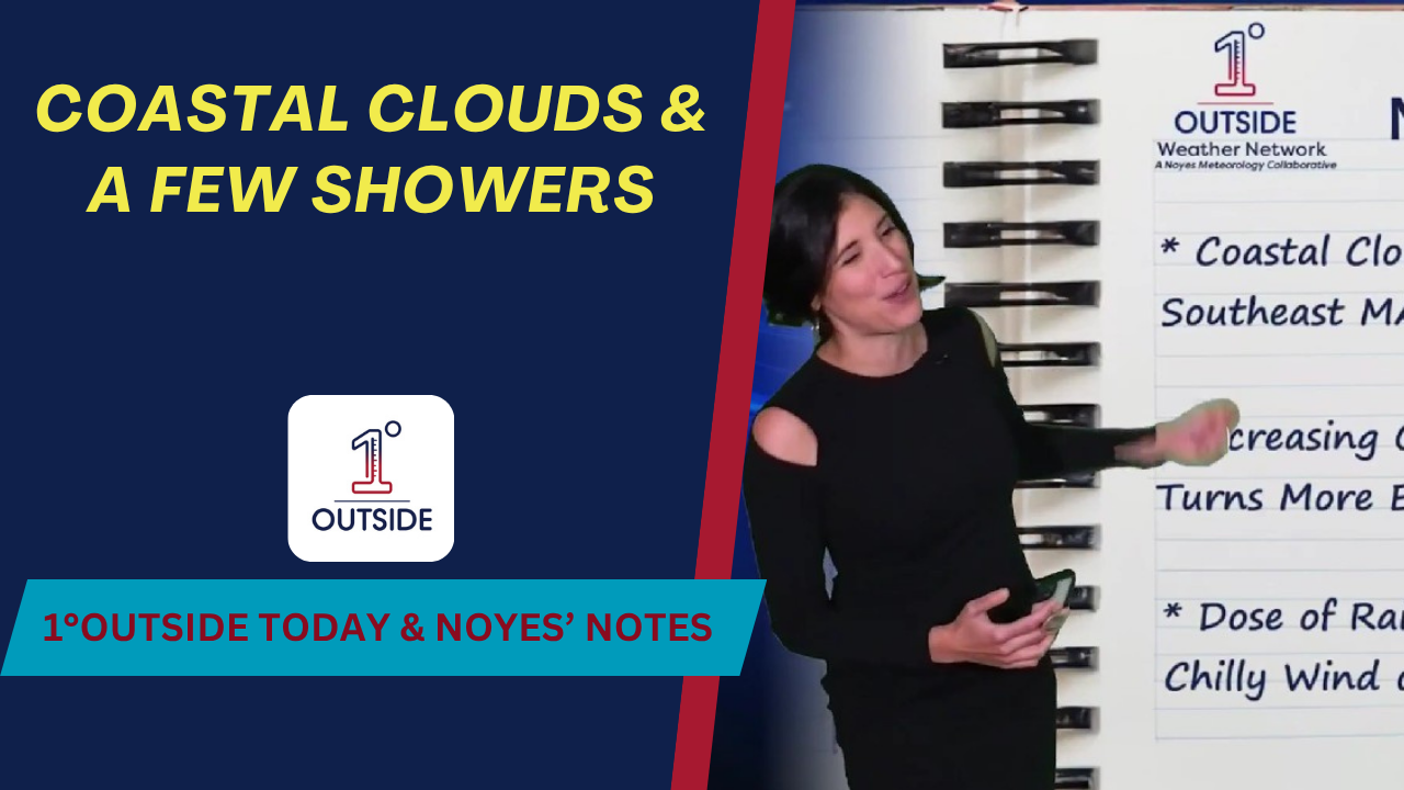
Today (Tue): Coastal clouds with a few light showers for southeastern Massachusetts and Cape Cod – thanks to a strengthening onshore (easterly) flow.
Thursday: Wind veers east → southeast, pulling moisture in. A dose of rain arrives west-to-east, with heaviest Thursday evening into Thursday night.
Halloween: Trending drier for many, but a chilly wind will make the costumes feel a notch colder.
Highs: Generally low–mid 50s, a few upper 50s possible; cooler 45–50° across far northern areas, including NW Maine.
Tonight: Where skies clear, 20s in the far north/interior; low–mid 30s for most; upper 30s–lower 40s South Coast & Eastern MA.
Late tonight/early Wed: Patchy drizzle possible in Eastern MA.
An onshore flow means wind blowing from ocean to land. That pulls in cool, moist marine air. As that air rides up over the land, it cools and condenses into low clouds and pockets of drizzle, especially along and just inland of the coast.
Thursday PM–Night: Widespread rain, locally moderate to heavy.
Halloween: Drier for many, but plan for brisk, chilly wind during trick-or-treat time- layer costumes accordingly.
Tropics: We’re tracking the latest on Hurricane Melissa and bring you the latest in Insights.
For pinpoint city/town forecasts, 14-day outlook, and interactive radar, download the free, 5-star 1DegreeOutside app (iOS/Android).


