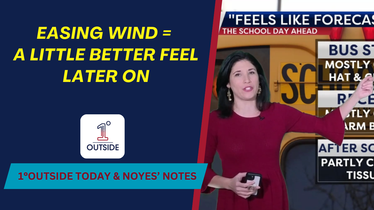
Another morning that bites. Wind chills start below zero again, but the gusts will ease through the day, so it’ll feel a touch better by afternoon. Expect a few snow showers and flurries – the kind of “sugar coating” dust-up with little to no impact. Far northern mountains (Jay Peak/Northern Coös) see upslope flakes; a few ocean-effect flurries could clip the outer Cape toward Thursday morning.
The bigger story is the reinforced Arctic air late week, and a strong coastal storm offshore Sunday…close enough to likely bring accumulating snow to parts of New England. We’ll dial in track/totals in Insights and on our member pre-storm livestreams.
Kids & commuters: dress for single-digit to teens wind chills this afternoon, and subzero again tonight into Thursday AM. Indoor recess likely for many districts.
Track hourlies, radar, and watch our 24/7 stream in the free 1DegreeOutside app (App Store/Google Play, five stars). Smart TV: open YouTube → 1DegreeOutside Network. Web: 1degreeoutside.live.
Want the behind-the-scenes meteorology? Join Inside Track+: membership.1degreeoutside.com.


