


A dynamic weather pattern unfolds across the United States as several key systems interact. An Arctic front continues its advance across the northern Plains, driving dangerously cold air southward. Wind chills across the Upper Midwest and northern Plains could reach dangerous levels, with highs in the single digits and lows dropping below -20°F. Snow squalls associated with this front may cause near-whiteout conditions in parts of Montana, Wyoming, and the Dakotas.
The Great Lakes region experiences diminishing lake-effect snow, though lingering flurries may persist, especially east of Lake Erie and Lake Ontario. Accumulations are expected to be light, with localized higher amounts in snowbelt areas.
In the southern U.S., a weak inverted trough in the Gulf of Mexico triggers scattered showers along the Gulf Coast, with no significant impacts expected. Southern California sees a reprieve from earlier fire weather conditions as offshore winds weaken, though dry weather persists.
A fast-moving clipper system is poised to bring light snow showers to parts of the Midwest, Ohio Valley, and Northeast, with minor accumulations anticipated. Meanwhile, milder conditions develop across the central U.S., where temperatures climb 10-20°F above average ahead of the Arctic air mass.
Out west, a developing ridge leads to relatively calm weather. However, parts of the Rockies may experience light snow as a weak disturbance crosses the region. Looking ahead, a robust Arctic air mass will expand eastward, threatening record cold temperatures and winter weather potential early next week.
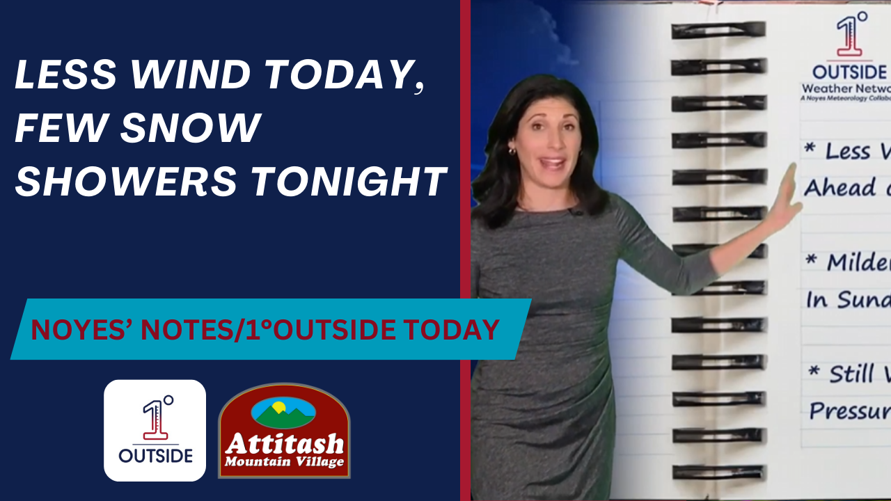
Northeast Weather Story
The Northeast remains locked in a cold pattern, though conditions begin to moderate slightly in some areas. Morning temperatures are frigid, with lows in the single digits across much of the interior and teens along the coast. Winds diminish, providing relief from recent biting wind chills.
A weak clipper system moves into the region during the afternoon and evening, spreading light snow showers from western New York to New England. Accumulations will be minimal, generally a dusting to an inch or two, with localized amounts up to three inches in favored areas such as the Adirondacks and Green Mountains. Despite the light amounts, roads may become slick, especially during the evening commute.
Lake-effect snow bands persist early in the day east of Lakes Erie and Ontario but taper off by late afternoon as the flow weakens. A few snow showers are also possible in the higher elevations of Pennsylvania and West Virginia.
By Thursday night, clearing skies return to many areas as high pressure briefly builds in. However, temperatures will remain below average, with lows in the teens for coastal areas and single digits or below zero in the interior. Prepare for another cold night, with travel disruptions minimal but localized slick spots possible due to lingering snow showers.
Looking ahead, Friday offers a break in precipitation, with milder conditions as winds shift southerly ahead of the next system expected to bring a mix of rain and snow over the weekend.