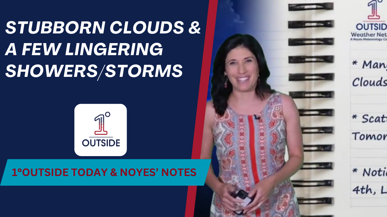
Danielle Noyes checks in with your Wednesday Noyes’ Notes and 24 hour forecast for the six-state region.
While clouds linger in parts of southern and eastern New England, most areas will be dry for fireworks displays. Temperatures hover in the low to mid 70s, with light wind, meaning smoke may linger longer than usual. The one spot to watch? Cape Cod and the Islands, where a stray shower is still possible this evening.
Clouds stick around for much of the region
Northern New England enjoys a beautiful day with upper 70s and low 80s
Lingering shower, downpour, thunderstorm in southeast MA, RI, eastern CT through the early evening
Patchy fog this evening and overnight south coast to the Cape and Islands
Tomorrow brings scattered showers and thunder during the day – but the good news is most of the action looks like it will dwindle by evening.
Danielle adds that the dew points drop heading into Friday, giving much of New England that refreshing feel just in time for the holiday.
“Seasonable for July — we’re talking 70s north, low 80s south. Very comfortable,” Danielle explains.
Stay tuned for more updates later today as we continue to watch the 4th of July and weekend forecast too!
📲 Use the interactive radar in the free 1DegreeOutside app, sponsored by CrackX.
🎯 Customize your location to get pinpoint fireworks and forecast timing where you are.


